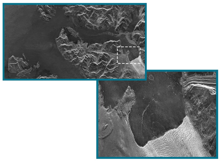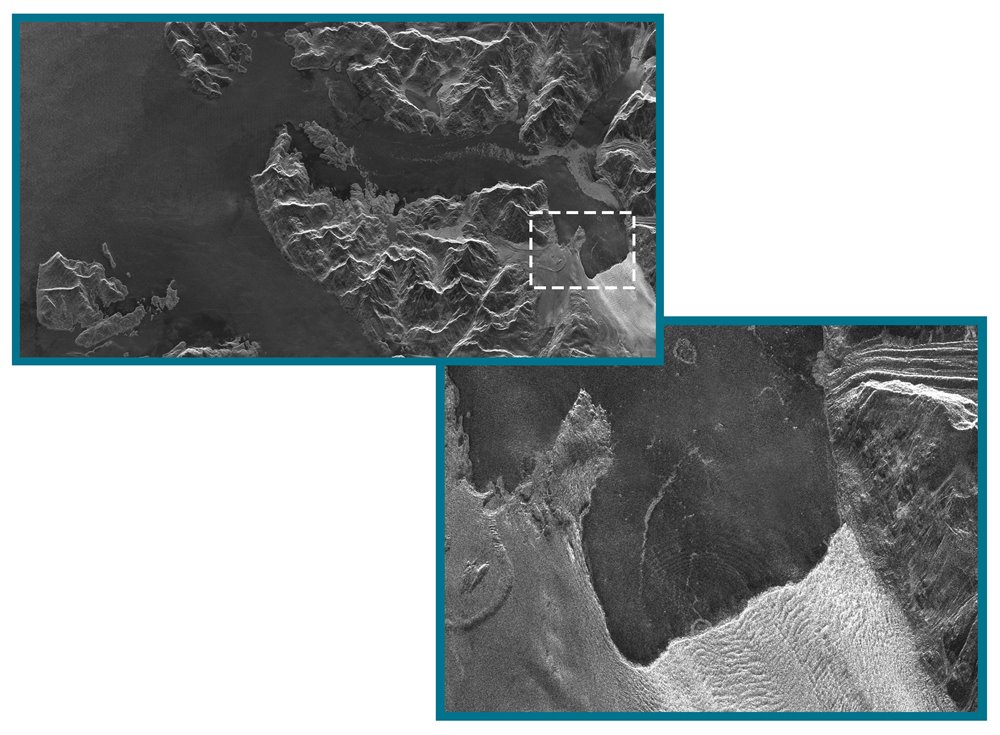
Our NovaSAR-1 satellite has captured an image of a large chunk of ice just as it falls into the seawater from the Columbia Glacier in Alaska, and causing a series of radiating ripple waves - a very co-incidental and lucky image acquisition!
The Columbia Glacier in Prince William Sound is one of the fastest receding glaciers in the world, and by taking a look at the Google Maps we calculate that it has receded by about 3km since 2017. To see the image in higher resolution, download it at the bottom of this page and zoom in.
This image was acquired on 19 February 2021 in Maritime mode at a resolution of 6m.
NovaSAR has a total of 4 imaging modes:
ScanSAR mode:
Swath width: 100km
Resolution: 20m
Maritime mode:
Swath width: >400km
Resolution: 6m across track, 13.7m along track
Stripmap mode:
Swath width: 15-20km
6m resolution
ScanSAR wide mode:
Swath width: 140km
Resolution: 30m
NovaSAR-1 was designed and manufactured by SSTL, with an S-Band SAR payload developed by Airbus Defence and Space in Portsmouth, UK and an Automatic Identification Receiver supplied by Honeywell Aerospace.
The SAR payload has a dedicated maritime mode designed with a very wide swath area of 400km to enable the monitoring of the marine environment, and will provide direct radar ship detection information simultaneously with AIS ship tracking data to assist with the identification and tracking of sea-going vessels.
