2024

SatelliteVu MWIR Clone

SSTL is building a 2nd Mid Wave Infra-Red (MWIR) thermal imaging satellite for Satellite Vu. The clone satellite is for a planned constellation of MWIR spacecraft which will have the ability to measure the heat signature of any building anywhere multiple times a day, enabling SatelliteVu to derive new insights in real time about building emissions, energy use and insulation.

CarbSAR

SSTL and Oxford Space Systems (OSS) have confirmed a partnership to build and launch an OSS Wrapped Rib antenna mounted to an SSTL CarbSAR satellite.  The In Orbit Demonstration mission advances both companies' abilities, with OSS gaining space heritage, and SSTL building its ability to integrate capability from new suppliers.  The work has been joinly funded by OSS, SSTL, Airbus Defence and Space, the National Security Strategic Investment Fund (NSSIF, HM Government's corporate venturing arm for national security and defence technologies) and is proving a ground breaking Synthetic Aperture Radar concept


Project TYCHE

SSTL is building a 150kg satellite based on SSTL’s Carbonite+ for UK Space Command. Project TYCHE is the first satellite procurement for the MINERVA programme which is a key enabler in the development of the foundation for a UK Space-based Intelligence Surveillance & Reconnaissance (ISR) constellation under programme ISTARI.

HydroGNSS

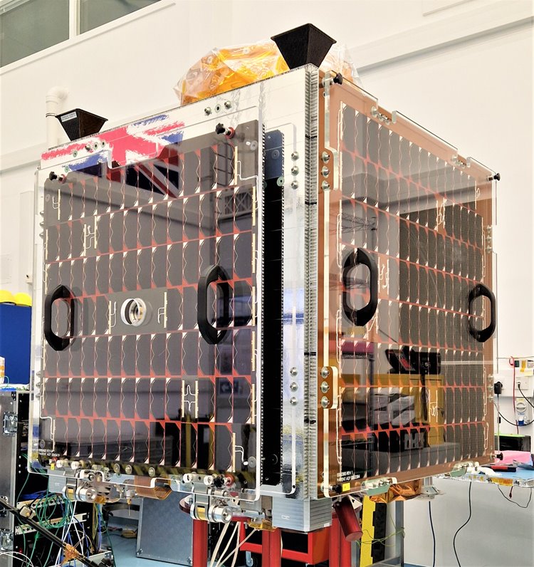
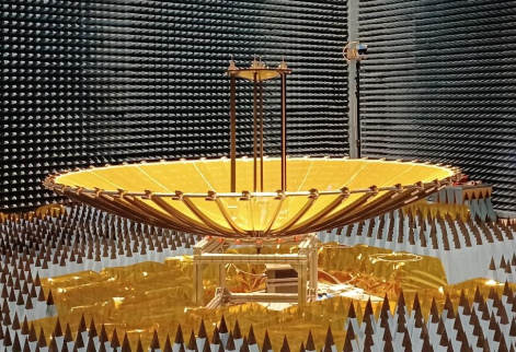
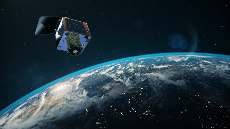
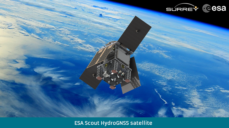
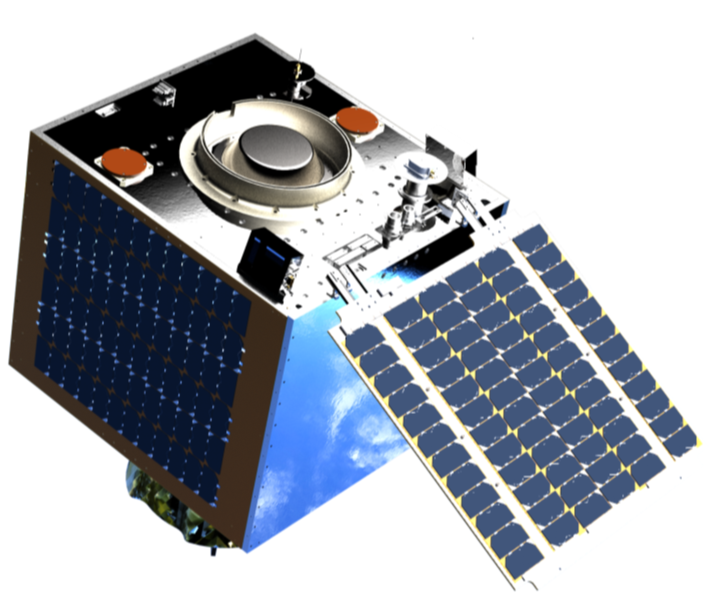
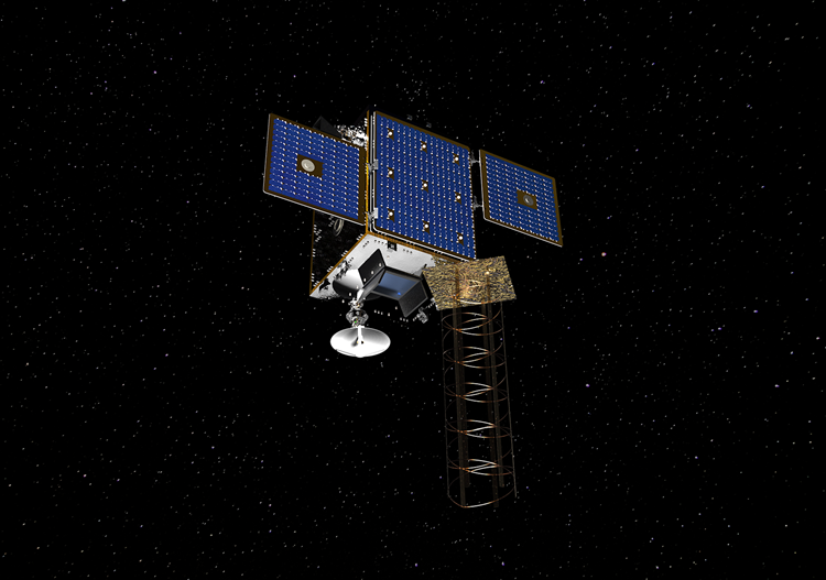
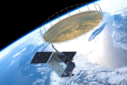
With funding from ESA's Scout programme, SSTL is building HydroGNSS, a 55kg small satellite to measure climate change variables.  HydroGNSS will take measurements of key hydrological climate variables, including soil moisture, freeze thaw state over permafrost, inundation and wetlands, and above ground biomass, using a technique called GNSS Reflectometry which exploits existing signals from Global Navigation Satellites, such as GPS and Galileo, as radar signal sources. These signals are reflected off the land, ice and ocean and can be collected by a low power receiver on a small satellite in low Earth orbit, and used to yield important geophysical measurements. HydroGNSS paves the way for an affordable future constellation that can offer measurements with a temporal-spatial resolution not accessible to traditional remote sensing satellites, thus offering new capacity to monitor very dynamic phenomena and helping to fill the gaps in our monitoring of the Earth’s vital signs for the future. The HydroGNSS mission will assist with the fight against climate change by providing valuable measurements using space technology.
View HydroGNSS animation
HydroGNSS Introduction Paper
We will be holding HydroGNSS Workshops to share mission information - details will be shared via our social media accounts
View HydroGNSS Workshop #1 recordings on YouTube

THEOS-2 SmallSAT

The 100kg THEOS-2 SmallSAT project for GISTDA (Thailand) is centred around the the transfer of knowledge to enable the Thai engineers to design, manufacture, integrate, and test similar satellites in Thailand in the future.   A total of 48 Customer Engineers will be involved in the programme over a period of four years, with training and mentoring taking place in the UK and in Thailand.

THEOS-2 SmallSAT is SSTL’s 20th Know-how Transfer programme and our second collaboration with Thailand - we previously trained customer engineers during the 1995-1997 Thai-Paht mission.

Lunar Pathfinder

The Lunar Pathfinder spacecraft is designed to provide affordable communications services to lunar missions via S-band and UHF links to lunar assets on the surface and in orbit around the Moon, and an X-band link to Earth. Due to launch 2025, the Lunar Pathfinder spacecraft will be a mission enabler for polar and far-side missions, which, without direct line of sight of the Earth, would otherwise have to procure their own communications relay spacecraft. Lunar Pathfinder is a more cost effective alternative to Direct-to-Earth solutions and a credible alternative to institutional deep-space ground stations, offering orbiters and near-side missions a better availability, enhanced safety and improved data-rate.

Try our Lunar Mission Builder App

Precision Multispectral Imager

SSTL is manufacturing a new very high resolution imager that delivers high quality imagery and high area coverage for pan-sharpened colour mapping and surveillance applications.  The Precision imager is a compact design that utilises a novel sensor and innovative opto-mechanical techniques to achieve a swath of >9.5km and a GSD in panchromatic channel of 0.6m native. The PAN channel is used to sharpen four 1.2m GSD multi-spectral channels and through post-processing sub 0.5m GSD is achievable.  Precision’s detector is a novel CMOS-in-CCD architecture resulting in low power consumption and read noise and time delay and integration capability.  Teledyne e2V is providing the state-of-the-art TDI CMOS sensor. 

SSTL is building the imager as part of ESA’s InCubed programme.

EarthCARE

We are supplying a Multi Spectral Imager (MSI) Instrument for the EarthCARE mission, ESA's third Earth Explorer Core Mission. The EarthCARE mission has been specifically defined with the basic objective of improving the understanding of cloud-aerosol-radiation interactions so as to include them correctly and reliably in climate and numerical weather prediction models. EarthCARE will meet these objectives by measuring simultaneously the vertical structure and horizontal distribution of cloud and aerosol fields together with outgoing radiation over all climate zones.

See video below for more information on how the different instruments work.

ESA - EarthCARE instruments: explained


MicroSAR

MicroSAR is designed to be the most advanced near-real time maritime surveillance satellites and will be owned and controlled by Space Norway. The customer is providing the radar payload and downlink chain with elements from several Norwegian subcontractors. SSTL is the spacecraft integrator whilst also providing some of the payload elements. Oxford Space Systems (OSS). The first satellite will be launched early 2025. In the following years, the plan is to launch a number of radar satellites to establish a constellation.