HydroGNSS
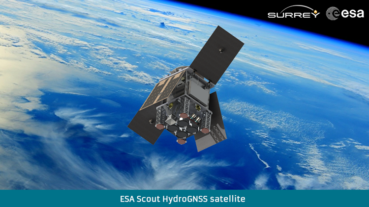
With funding from ESA's Scout programme, SSTL is building HydroGNSS, a 55kg small satellite to measure climate change variables. HydroGNSS will take measurements of key hydrological climate variables, including soil moisture, freeze thaw state over permafrost, inundation and wetlands, and above ground biomass, using a technique called GNSS Reflectometry which exploits existing signals from Global Navigation Satellites, such as GPS and Galileo, as radar signal sources. These signals are reflected off the land, ice and ocean and can be collected by a low power receiver on a small satellite in low Earth orbit, and used to yield important geophysical measurements. HydroGNSS paves the way for an affordable future constellation that can offer measurements with a temporal-spatial resolution not accessible to traditional remote sensing satellites, thus offering new capacity to monitor very dynamic phenomena and helping to fill the gaps in our monitoring of the Earth’s vital signs for the future. The HydroGNSS mission will assist with the fight against climate change by providing valuable measurements using space technology.
View HydroGNSS animation
HydroGNSS Introduction Paper
We will be holding HydroGNSS Workshops to share mission information - details will be shared via our social media accounts
View HydroGNSS Workshop #1 recordings on YouTube
